Fire around the world
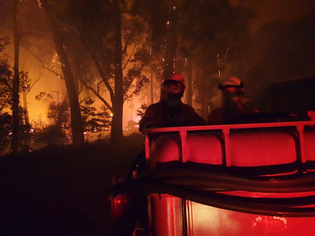
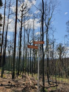
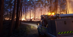
Fires are widespread across our globe. Bushfires, or wildfires, are common where conditions are hot and dry, and fuel (dry grass, forest undergrowth) is available. Various ignition sources cause wildfires. People also introduce fire into the landscape on purpose. Prescribed or controlled fires are used in some cases to manage farmland and natural areas.
Observations from NASA’s Moderate Resolution Imaging Spectroradiometer (MODIS) on the Terra satellite show us just how common fires are around the world. The NASA Earth Observatory map displays the number (not the size) of fires occurring across the surface of the Earth. The map uses a colour code to indicate the number of discrete fire events within a 1,000 km2 area on a particular day. White pixels indicate many fires (e.g. 100 fires/1,000km2/day). Yellow, orange, and red pixels indicate fewer fires.
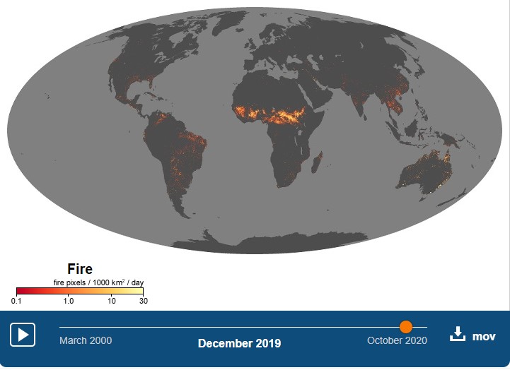
The map shows that fire is a very common disturbance across much of the globe, and that fires occur in different geographical regions at different times of the year.
Back to the ecology theme overview


1 Comment
Super fascinating to see just how common fire is around the world.